|
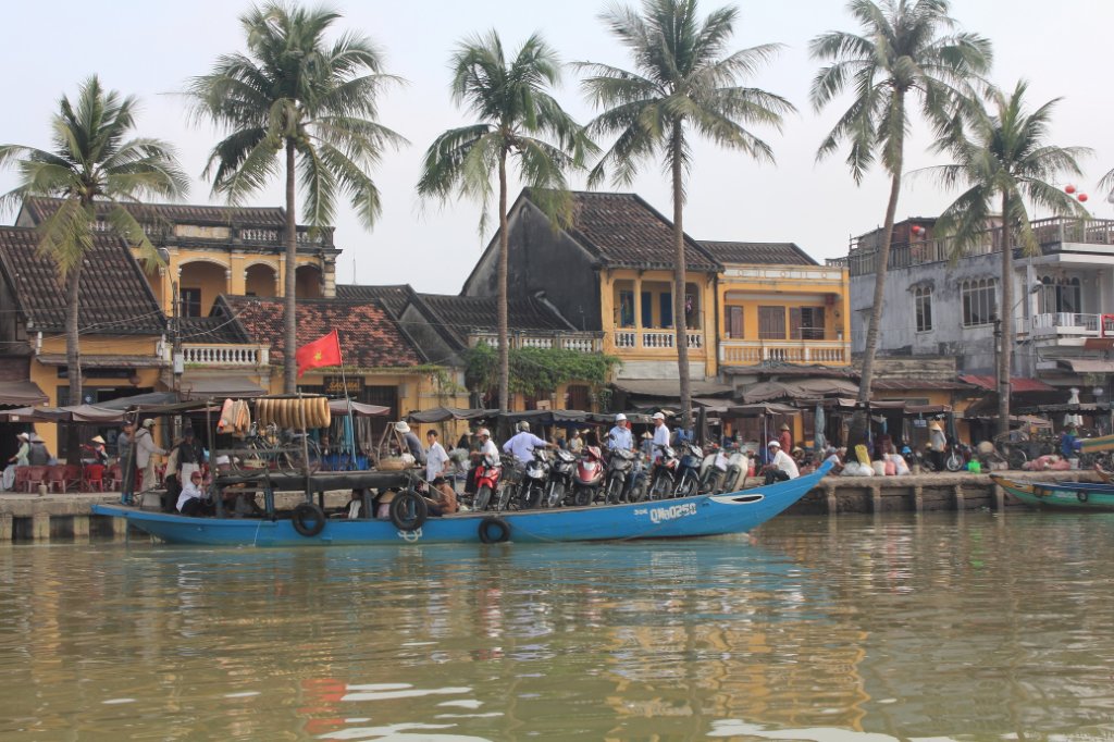 |
| Hoi An river side, a ferry | |
| Latitude: N 15°52'32,98" | Longitude: E 108°19'50,30" | Altitude: 0 metres | City: Hoi An | State/Province: Quang Nam-Da Nang | Country: Vietnam | Copyright: Ron Harkink | See map | |
| Total images: 53 | Help | |
|
|
|
| Hoi An river side, a ferry | |
| Latitude: N 15°52'32,98" | Longitude: E 108°19'50,30" | Altitude: 0 metres | City: Hoi An | State/Province: Quang Nam-Da Nang | Country: Vietnam | Copyright: Ron Harkink | See map | |
| Total images: 53 | Help | |